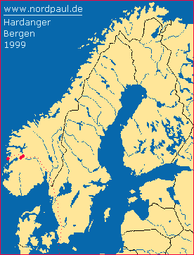
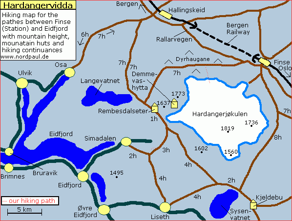
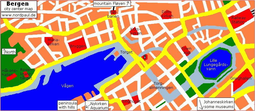
The following report is a small hiking guide for the western part of the Hardangervidda and the pathes to the Eidfjord. In addition I can show you some pictures of the west coast of Norway of the Hanseatic city Bergen.
In the summer 1999 we went by train and with a tent into the south of Norway. We took the train through Sweden and went to Oslo. There the famous Bergen Railway starts into the highlands. In the middle of the highlands we reached the railway station Finse in a height of 1222 meter. Finse is situated at the northern edge of the Hardangervidda (largest plateau of Europe). Inside the station building of Finse you can find a little shop with everything you need (in 1999) and a railway museum.
You can already see the Hardangerjøkul from the railway station in Finse. Our hiking tour took us approximately ten days. We walked on the western side around the circular glacier - and back again. The hiking pathes are always marked by heaps of stones and a red "T" which is painted on the stones.
After one night near Finse we slept for two nights on the half distance to the Rembesdal. For one day we climbed and hiked on the edge of the glacier. On the next day we saw a big lake with a dam at the end in the Rembesdal. The water flows directly from the Hardangerjøkul into this lake. Through a rock lug the water of the lake flows down to the Sima power station in the fjord valley.
During a further hiking tour we walked nearly one complete round around the lake and the dam to the Simadal. From the mountains we looked down into the Simadal and the following Eidfjord. The slope at the valley is by the way approximately 900 meters deep - a comfortably place for sitting and relaxing!
When we walked back to Finse it was good to have a round dome tent with us. This tent resisted a big storm with gale gusts and a lot of rain for a whole night. However some parts of the tent had to be weighted by small stones because the stony underground was not so good to fasten the tent.
At the end of the trip we went by train from Finse to Bergen and stayed there for two days before going back to Germany. In the second largest city of Norway it rains usually very often - but we had almost sunshine.
This was my first real wilderness adventure tour - without shops and daily routine around me. This was Hardangerjøkulen and Hardangervidda.
If you want you can correct my English because it is not my native language.
Just send me an e-mail: webmaster@nordpaul.de
... more hiking areas in Norway

... more of Oslo, Bergen and South-Norway


